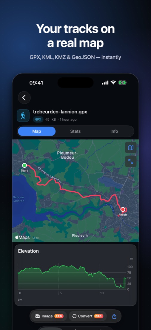
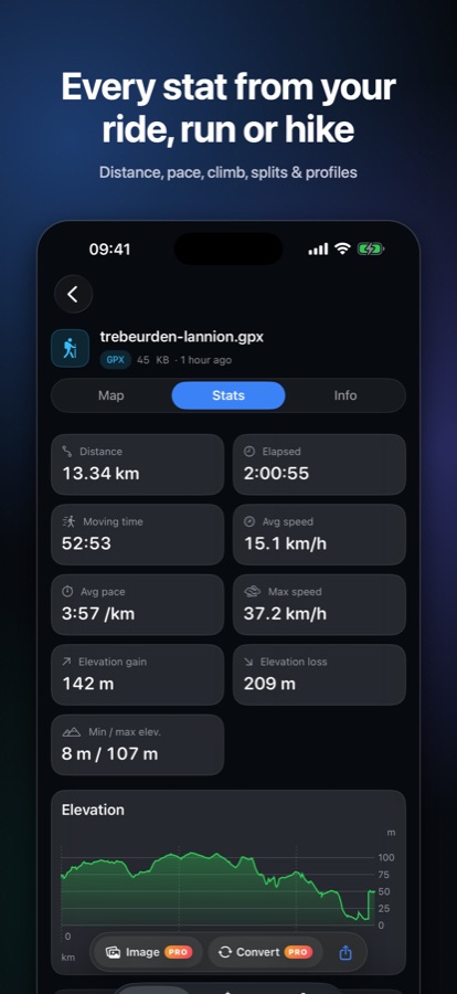
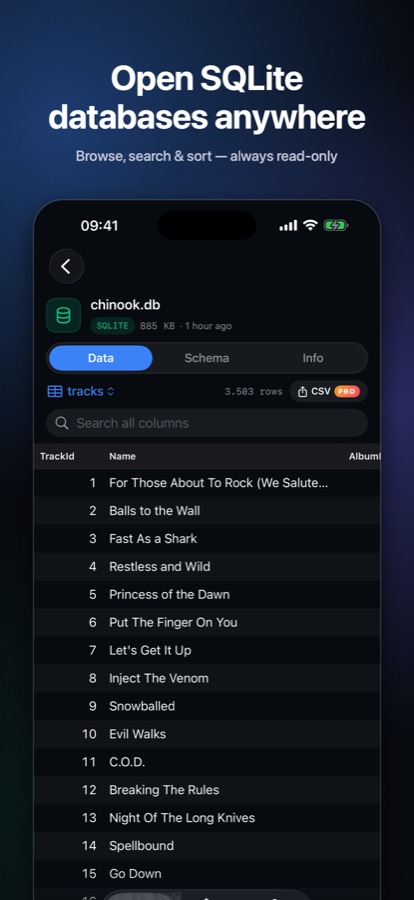
GPX tracks on a real map with full stats. KML, KMZ and GeoJSON with every attribute. SQLite databases with tables, search and schema. Instantly, privately, right on your iPhone and iPad.
A friend's hike, a Google My Maps export, a project database — tap it and see what's inside in under a second.
Distance, moving time, pace, climb and per-km splits. Elevation, speed and heart-rate charts — scrub a chart and follow the point on the map.
Apple Maps in Standard, Satellite, Hybrid or 3D terrain, with the original KML colours, folders and every GeoJSON attribute.
Tables, views, search and sort, plus the full schema with keys and relationships. Core Data stores show their entity names. Always read-only.
Quick Look previews for GeoJSON, KMZ and SQLite in Files and Mail. For everything — GPX and KML included — tap Share › Quick View in Mail, WhatsApp, Safari or AirDrop and preview without leaving the app.
Viewing is free, forever. No subscription.
GPX ⇄ GeoJSON ⇄ KML, and any table, feature list or track to CSV.
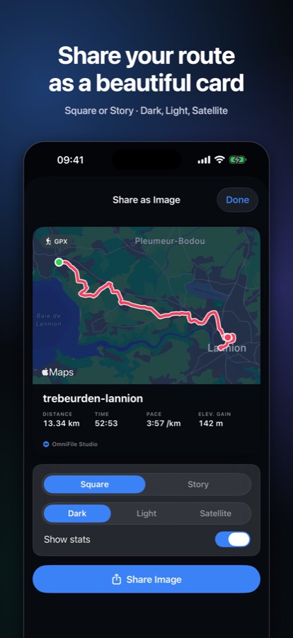
A clean map card with your route and stats — square or story, dark, light or satellite.
See the route, shape or table count right in the Files grid.
OmniFile Studio is the iPhone and iPad companion to GIS Quick Viewer and Quick Data Insights for Mac — the same instant, offline previews, built natively in Swift.
Yes. Viewing every supported file is free. An optional one-time Pro purchase adds conversion and export, share-as-image cards and live thumbnails in the Files app. There is no subscription.
GPX, KML, KMZ and GeoJSON for maps and tracks, and SQLite databases (.sqlite, .sqlite3, .db, .db3).
Tap a GeoJSON, KMZ or SQLite file in Files or Mail for an instant Quick Look preview. For any supported file — including GPX and KML, which iOS always shows as text in its own preview — use Share › Quick View, or open it in OmniFile Studio for the full viewer.
No. Files are read on your device and never uploaded. There are no accounts, analytics or tracking. Map tiles are loaded by Apple Maps.